Hiking Diana Lake Lodge - Trip Report
18 March 2024 | Corinna
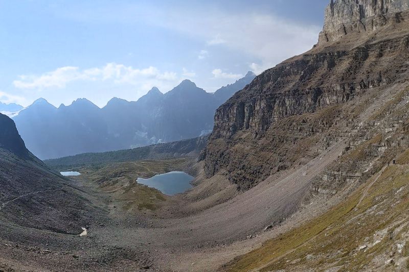
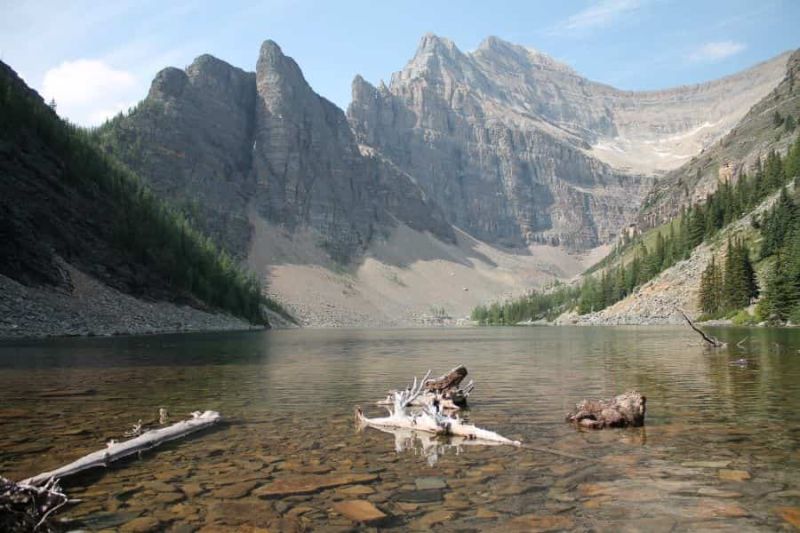
The cool sub - alpine waters of Diana Lake.
Diana Lake Lodge is a hidden gem in the Brisco Range, just outside the Northwest corner of Kootenay National Park. It started out as a hunters' lodge and outfitter's cabin in 1956 but has...