East End of Rundle - Hiker's Route Trip Report
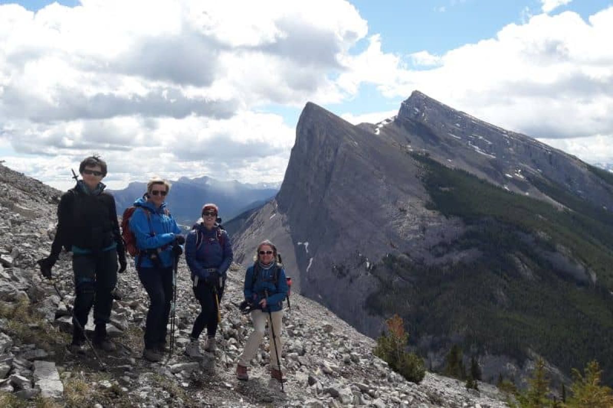
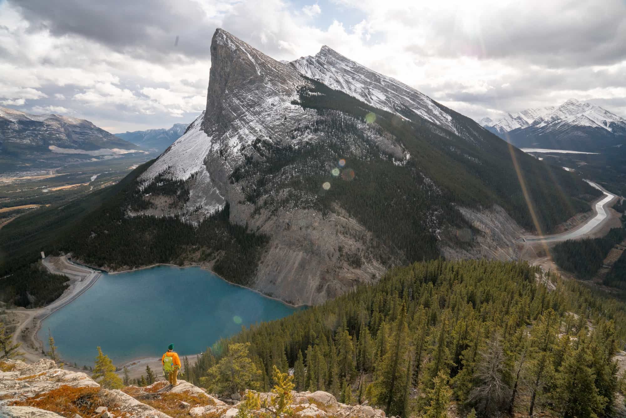
East End of Rundle (EEOR) is a fun, technical, and rewarding steep hike on the the Eastern end of Waskahigan Watchi (Cree for House Mountain), also known as Mt. Rundle. This massive mountain stretches all the way from Canmore to Banff, and adventuring up the East end is a high quality hike. The hiker route stops at the meadows. Past the last vegitation takes you into scrambling/mountaineering terrain. The final section to the summit is best left for experienced scramblers willing to deal with significant rockfall and fall potential. Don’t worry though, there is still get plenty of exciting terrain and stunning views.
-
Distance
5km (Total, out and back)
-
Elevation Gain and Loss660m
-
Hiking Time
-
Starting Location
-
Permit Info
A Kananaskis Conservation Pass is required.
-
Transportation Options
The trailhead is 9km from downtown Canmore. If you drive, arrive early on weekends as the parking lot can fill. Three Sisters Taxi runs a shuttle to the parking lot.
-
Season
The trail can be hiked any time of year, but the best summer conditions are generally found May - October. In winter, avalanche hazard exists on the mountain.
Trip Report
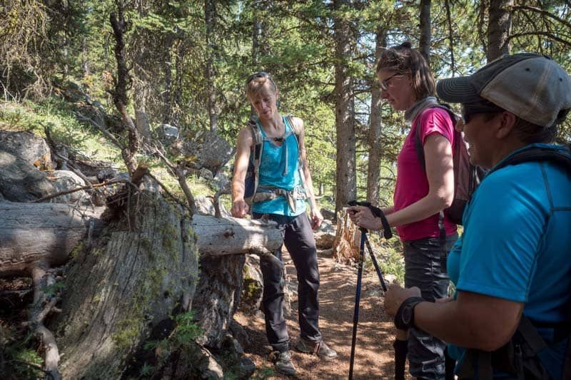
We headed North from the parking lot and walked along the road until the trail became visible after about 250m on the left. There are many faint goat trails in the area that tried to lure us astray. The main EEOR trail is well traveled and established here, so once we saw it we knew we were on track.
The trail started out steep, and stayed that way for most of our journey. Early on we saw a sign warning against touching any unfamiliar items or debris we might encounter. This is because Kananaskis Public Safety regularly uses explosives to perform avalanche control on the slopes above and it’s possible there could be unexploded ordnance. They advise that if you see anything like that: don’t touch it, take a picture, note the location, and let Kananaskis Public Safety know.
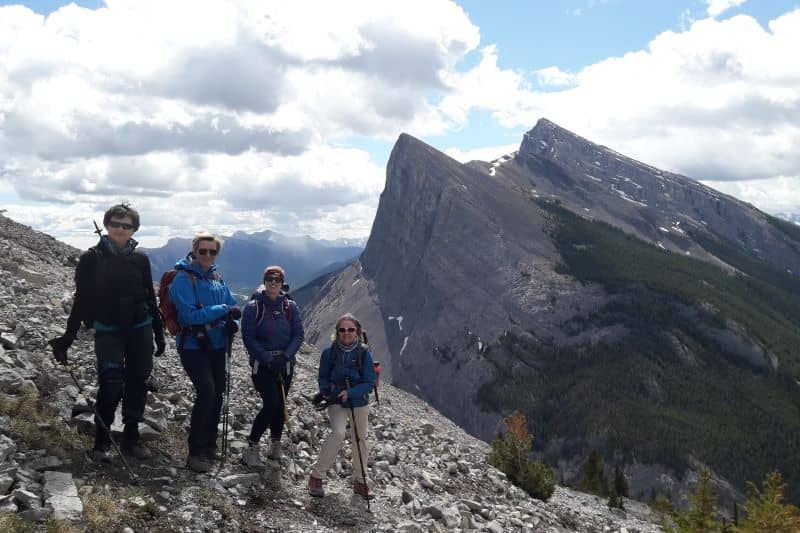
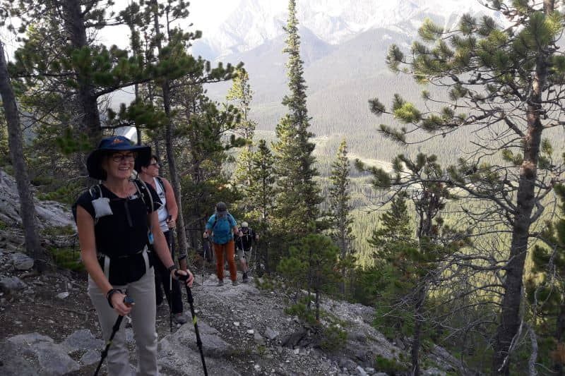
Soon we reached the ridge, and continued on up. The trail was generally well defined, though it did braid in several places. A few times we scouted along a potential path only to discover it petered out and we had to backtrack to the main trail.
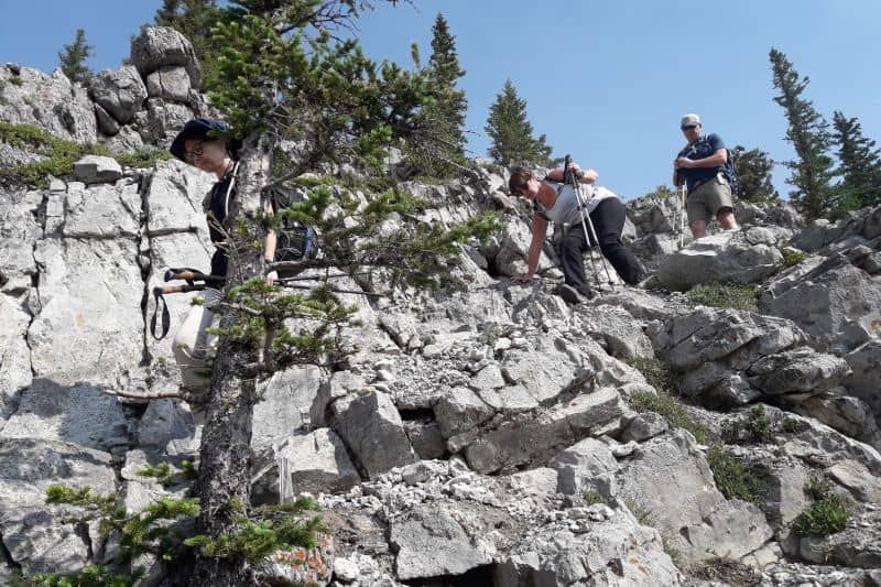
Crossing several rock slabs we found a way through that was still hiking (and not climbing), but we had to use a lot of route finding skills to find the easiest way. Care was needed as it's wasy to end up in rock climbing terrain. After each rock slab we found the trail again (sometimes after careful searching), and made a point to look back and ensure we remembered the way down.
Speaking of rock climbing, there are many climbing routes that go up the cliff on the East face of Rundle, so we were careful to not knock rocks down off the ridge and onto others.
At the “crux” (the hardest part) of the route the standard way up requires exposed scrambling moves; this meant climbing a steep section of rock where a fall would have been very hazardous. As hikers, we weren’t keen to do that! We detoured to the West for an easier and less exposed way up.
We worked our way up through more technical steep hiking terrain, following the one thin path of hiking moves that didn’t require us to rock climb. There were some intimidating sections that looked impassible from far back, but up close had paths snaking up through them. Even though the actual hiking moves weren’t physically difficult, some of us found the airy feeling from being up so high quite exhilarating and we needed a touch of courage and support to go for it!
We took the same way down as we came up, but did notice that if the weather turned or one of our group members was intimidated by going down the technical sections, that there is a bypass through the forest. It is a lot of sidehilling on loose rocks and could tire out ankles, but it is less difficult terrain and the consequences of a fall are smaller.
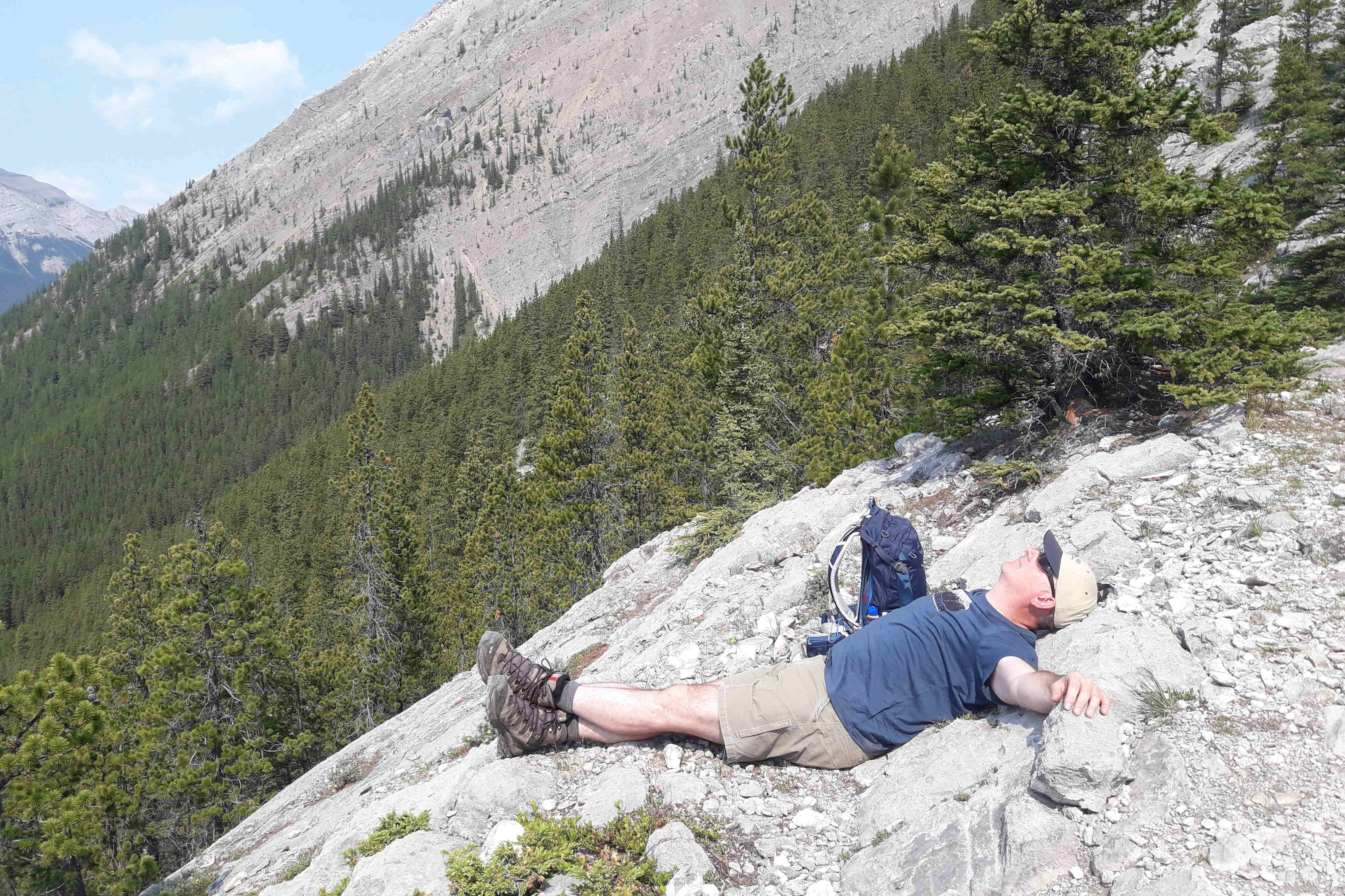
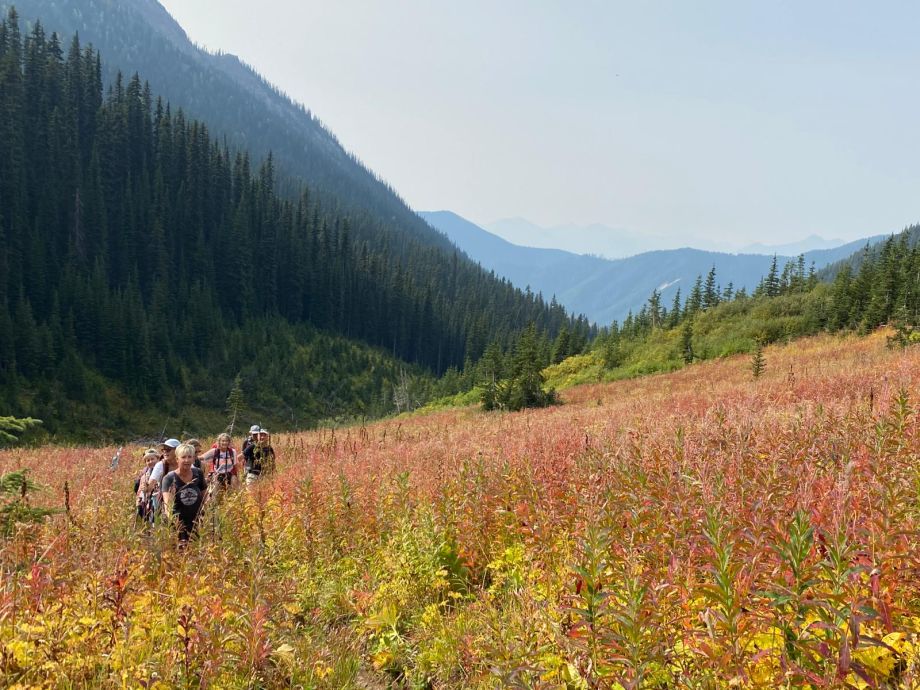
There is a large cairn in the high point meadows marking the high point for hikers. This was a great place for lunch with amazing views. Above the meadow we could see that the trail went up loose scree slopes, and there would be a few climbing moves to reach the summit. We were content with the meadow being our high point.
A herd of bighorn sheep lives on the slopes of EEOR, and they can often be seen on the trail. They don’t have much fear of people, but can be aggressive if we get too close. So amazing to see them in their natural habitat (from a safe distance)!
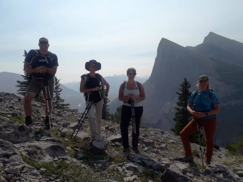
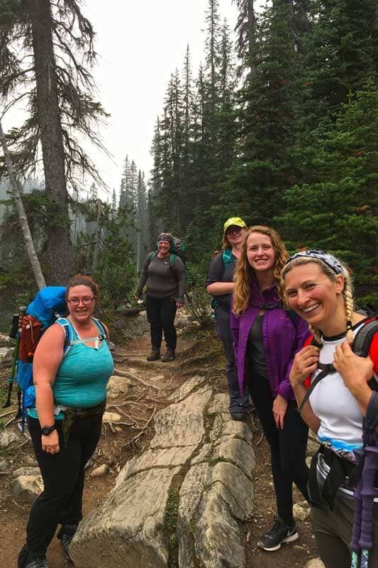
Our team had a great time challenging themselves to do this technical hike. EEOR is pretty much as technical as terrain can get before becoming a scramble or rock climb, so it was an eye opening experience. Some of our participants said that while they wouldn’t want to hike something so technical every weekend, they valued the experience of knowing they could make it through that kind of terrain. Even if you aren’t going to hike the Triple Crown every weekend, knowing you could do it builds a lot of confidence!
Other Posts of Interest
Related Courses
Fresh off the Press
Most Popular Stories
Tags
Spread the Love - Share this article on your socials...
