Moraine Lake and Larch Valley - Trip Report
Trip Report
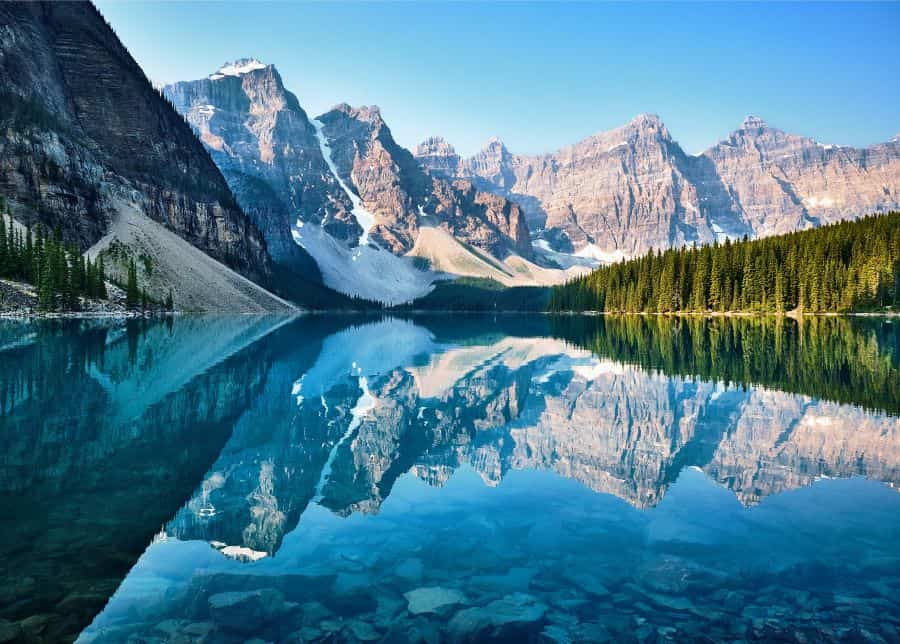
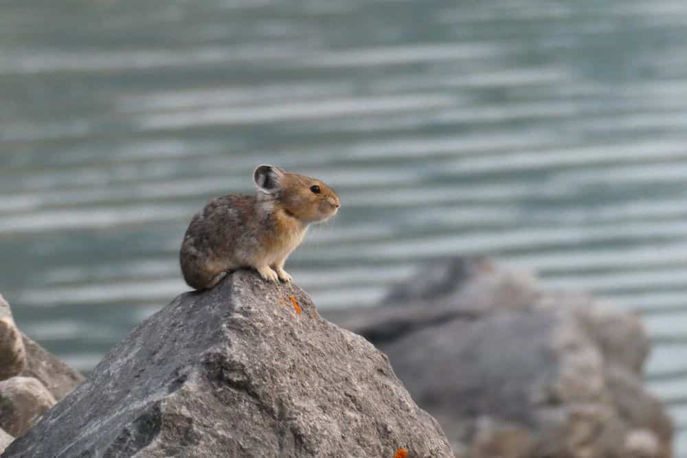
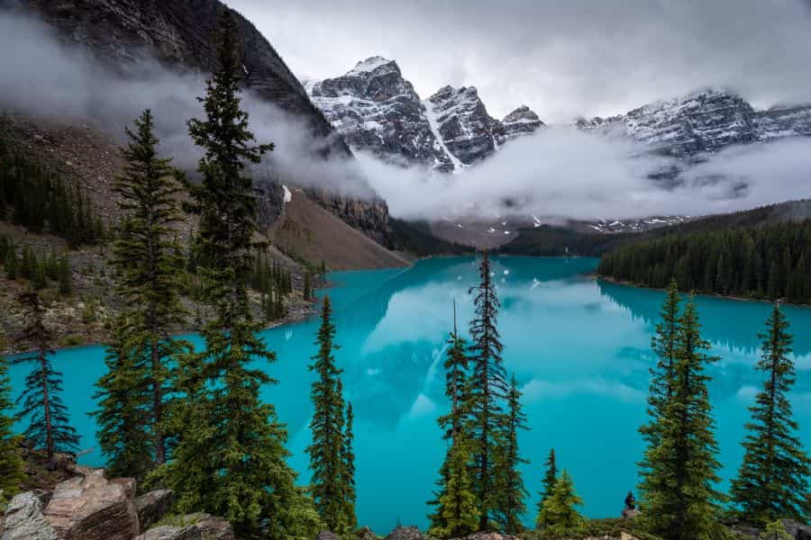
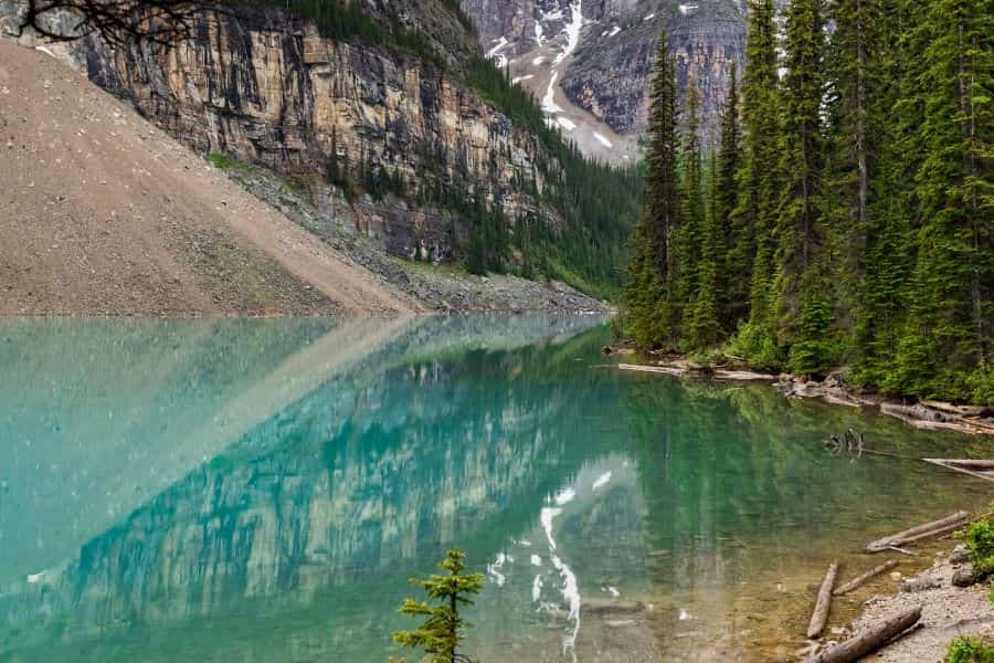
The moment we arrived at the parking lot, it became obvious why so many people want to visit this place. Mount Temple looms above, and we could see the lake peeking through the trees. There is a big jumble of boulders at the North end of the lake. We found it worthwhile to spend some time exploring here, following an established trail up to the top. If you’re lucky, you might even see a pika! Pikas are a close cousin to the rabbit, only live at high elevations, and they make the cutest “meep!” sound whenever people come near. This is where all the classic Moraine Lake photos are taken, but don’t forget to look behind you as Mount Temple rises high from the valley floor.
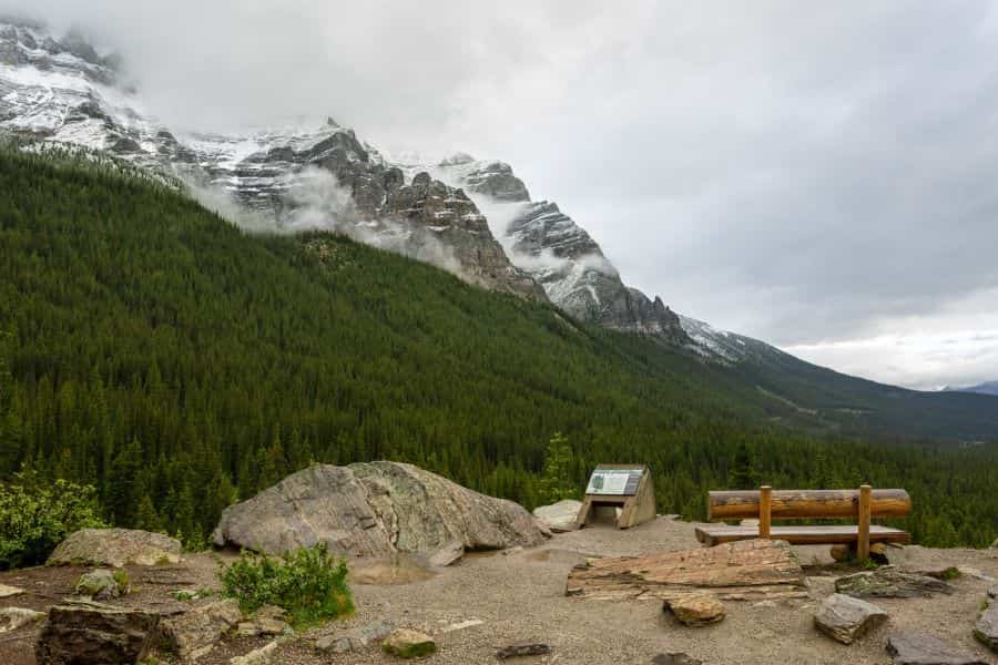
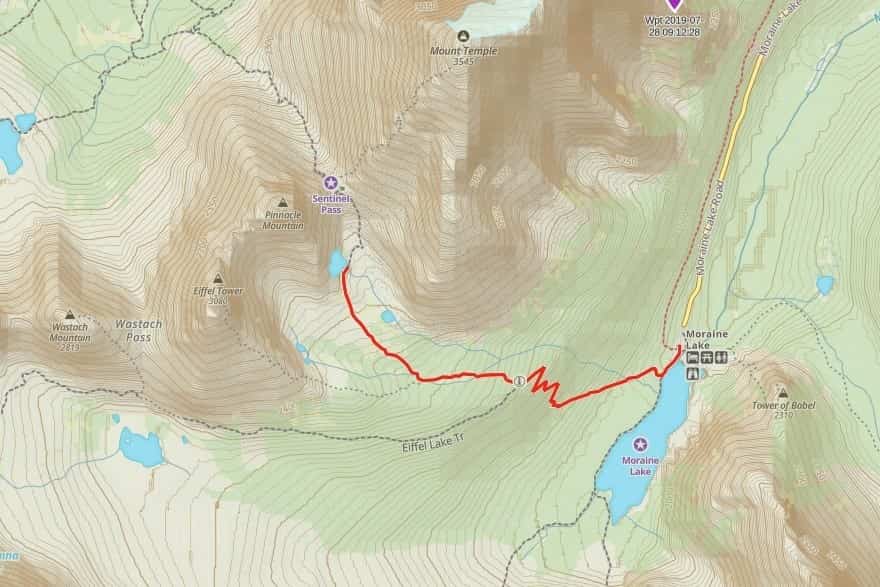
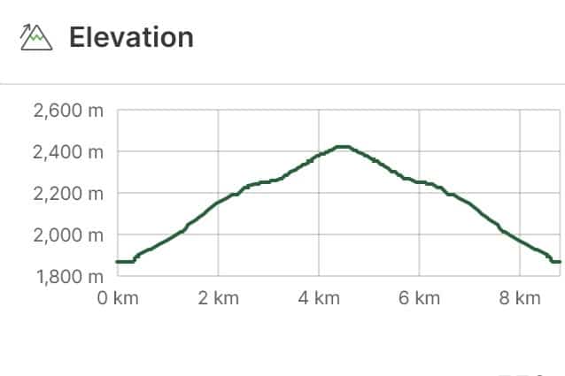
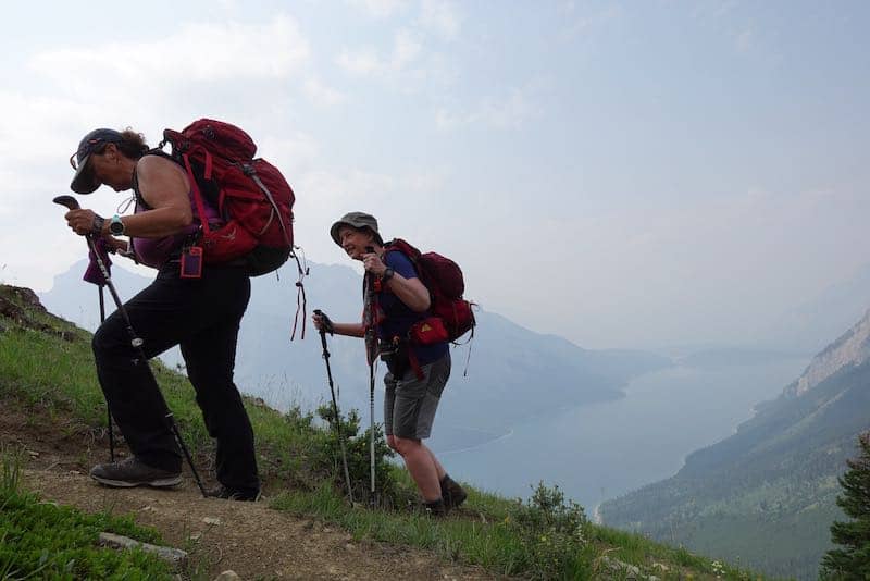
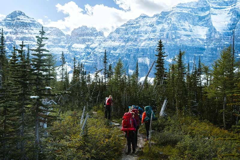
The lakeshore is stunning enough to keep one entertained for hours, but there was more to explore so we had to get moving! We walked along the shoreline for about 250m until we were just past the lodge’s buildings. Here we came to a well marked trail junction, and headed up (right) for Larch valley. We were plunged into deep forest for the most physically challenging part of the hike. The trail is in fantastic condition with well built switchbacks, but we still gained over 350m in just over 2km.
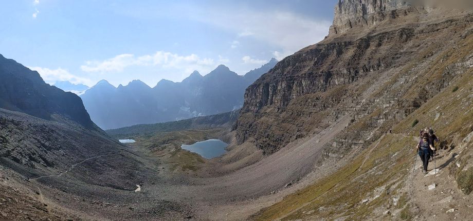
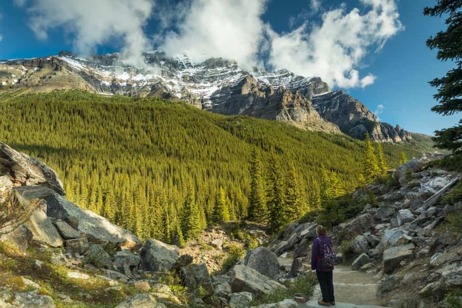
Once we left the final switchback behind us, it was clear the view was worth the effort, and then some! The valley opened up and we were surrounded on all sides by huge mountain peaks. The alpine meadow was full of wildflowers; it’s always amazing how such delicate and beautiful things can exist in the harsh mountain environment. Soon we left trees behind us, and Minnestima Lake was essentially the last green area before the valley turned to scree and snow above us.
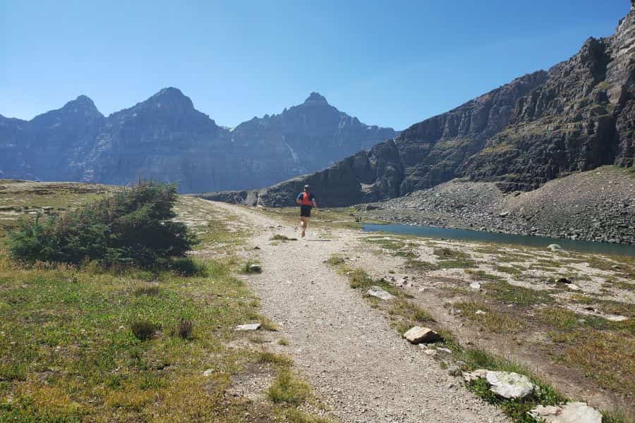
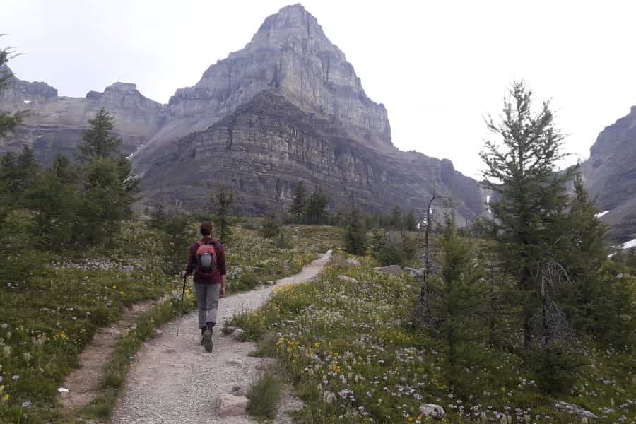
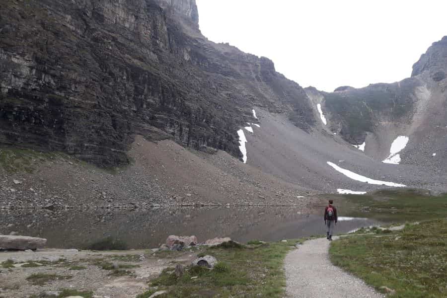
We enjoyed a lovely picnic in the valley. We didn’t want to damage the fragile alpine meadow, so we sat on some rocks right beside Minnestima Lakes to use as our picnic table. “Lake” may be a generous term given its size, they’re actually tiny tarns.
Beyond Minnestima Lakes there is a trail that continues on to Sentinel pass. That section of trail is considered difficult hiking since it mostly traverses steep scree slopes, and there is some rockfall hazard from above (a helmet can be a good idea). This section of trail often has lingering snowpatches where one can slip, and so is best for experienced hikers. The route up Temple after that is no longer a hike, and is a difficult scramble requiring experience and mountain skills.
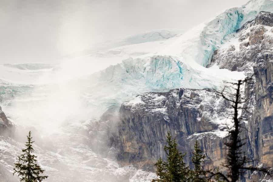
After a nice rest, we headed back down the way we came. The trail is so well graded that the descent felt smooth and went by fast. Before we knew it we were back down by the lakeshore. The Fay glacier was visible across the valley, and pretty much everywhere we looked was amazing.
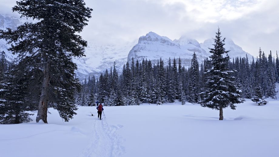
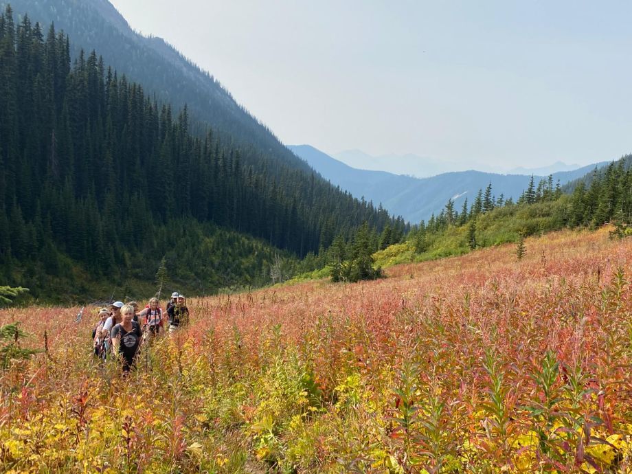
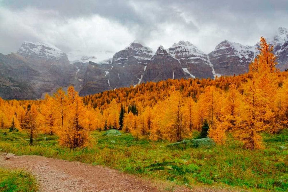
Some people say fall is the best time to visit this area, but we’ve found that anytime we can get here it's been awesome. In spring the mountains will still be snowy and stark, by summer the wildflowers will be out in full force, and by fall the larches will be putting on their show. A reminder that the road is closed due to avalanche hazard in the winter.
Other Posts of Interest
Related Trips & Courses

Fresh off the Press
Most Popular Stories
Tags
Spread the Love - Share this article on your socials...