Ha Ling - Trip Report
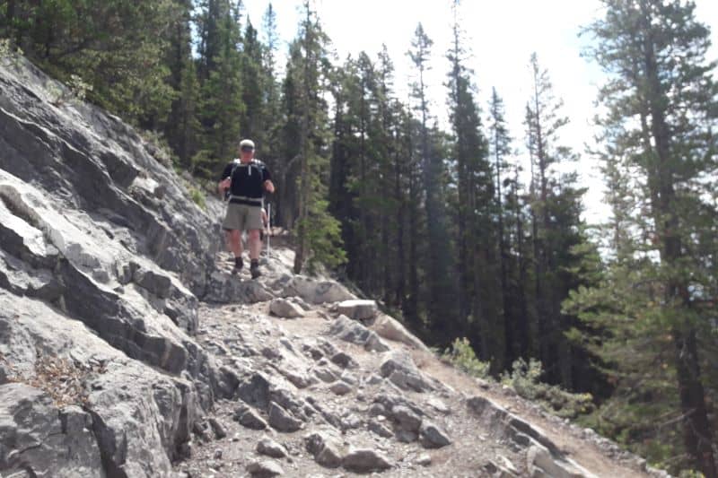
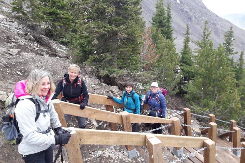
Ha Ling is a fantastic hike with a lot of elevation gain and an excellent trail. The trail system was extensively refurbished in 2018 and now most of the way is on stable ground with pleasant grades. They even added a few sets of stairs over the loose and scree sections. The final section from the saddle up to the summit is a little more adventurous, but is reasonable for sure-footed hikers.
Trip Report
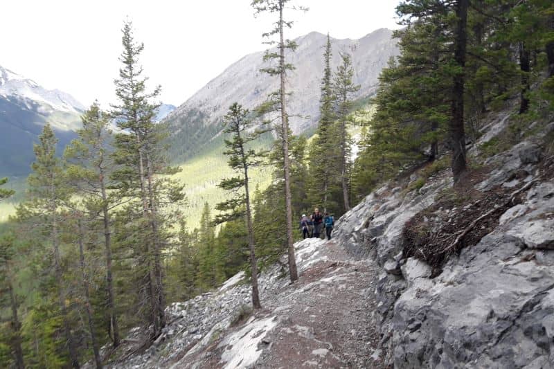
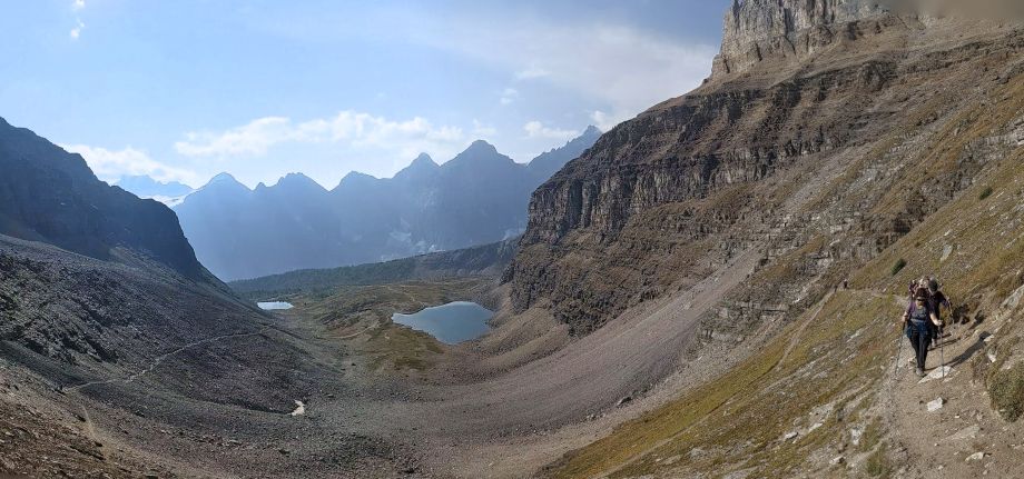
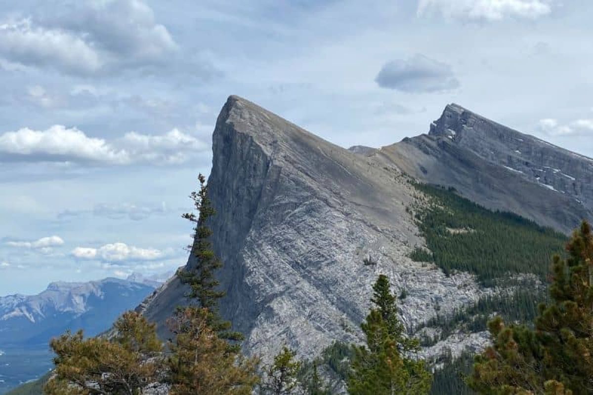
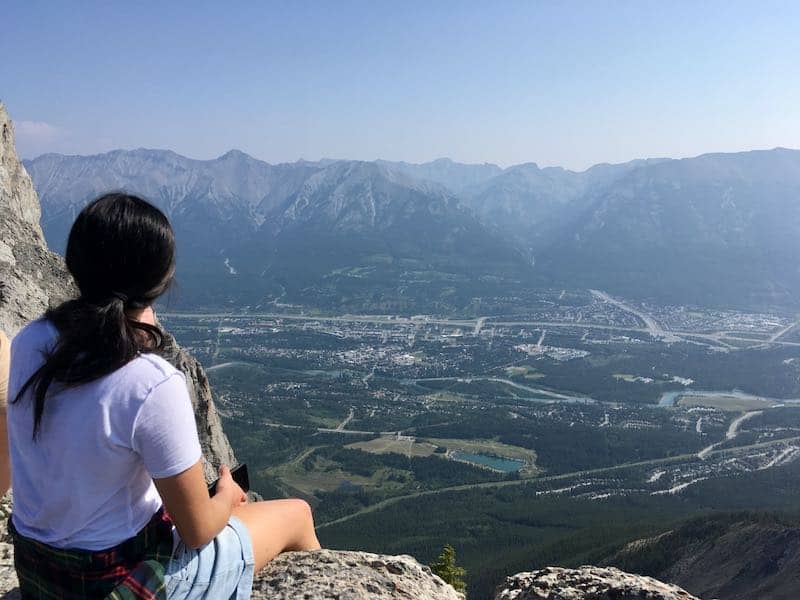
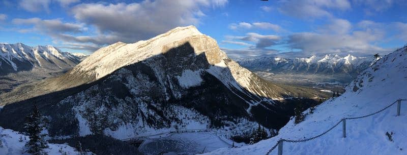
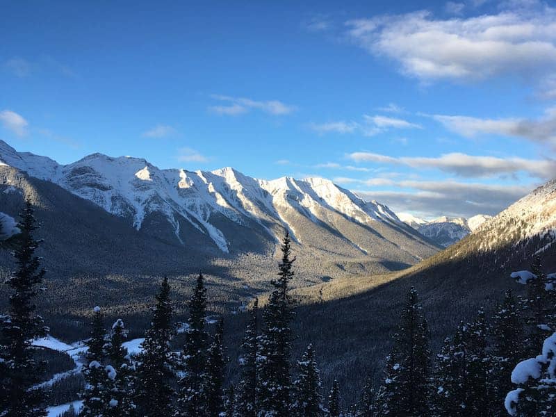
The trail is carved directly into the mountainside in several places, making the way straightforward. After some good effort, we came to the first viewpoint. The view was breathtaking and offered an amazing perspective of the valley below and Mt. Rundle across the way. After having a snack and taking in the views, we headed back into the forest for a few more sweeping switchbacks. Soon the trees around us got smaller and more spaced out, and the views became more expansive as we reached the alpine.
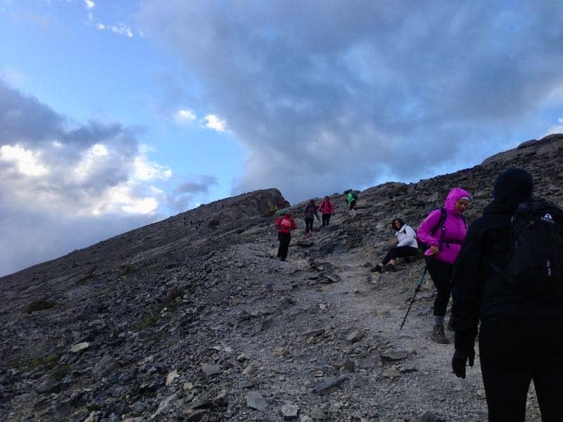
Before 2018 the section of trail above treeline was scrappy, containing loose scree. It was common for hikers to wipe out here. The trailbuilders added in two sets of stairs, which make this part so much more inviting! In winter they can develop deep ruts that look and feel like waterslides from people sliding down them on their bums!
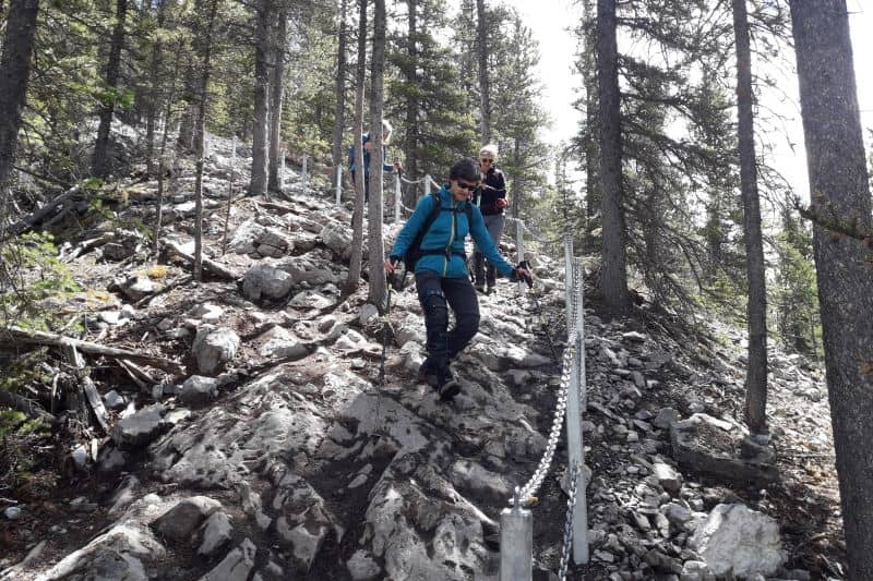
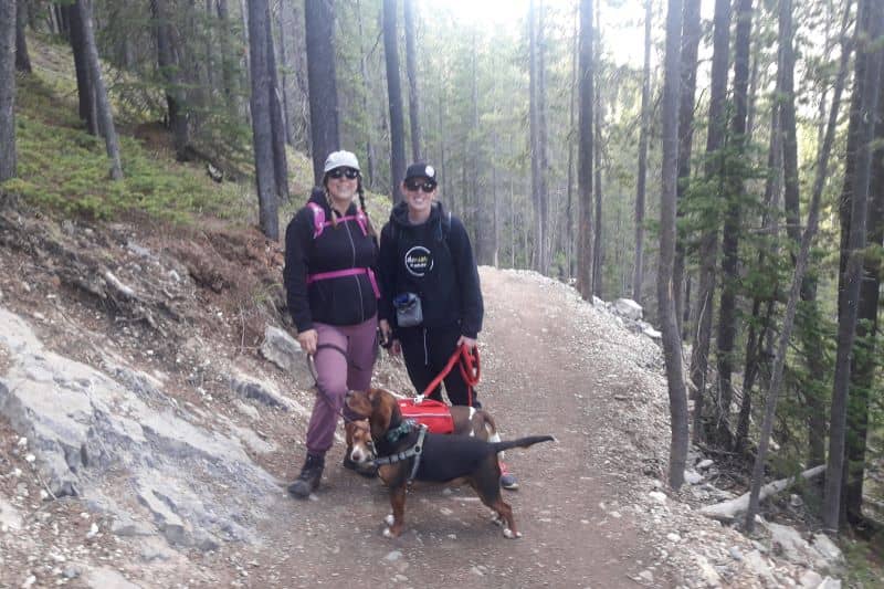
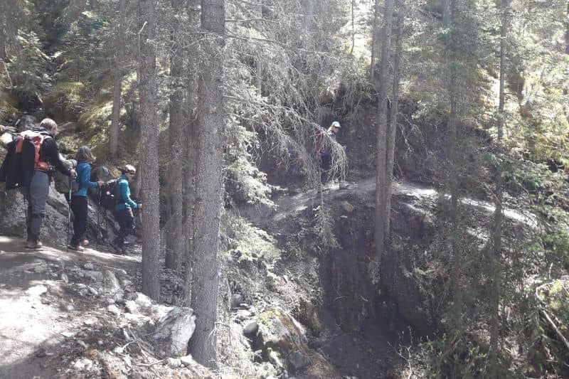
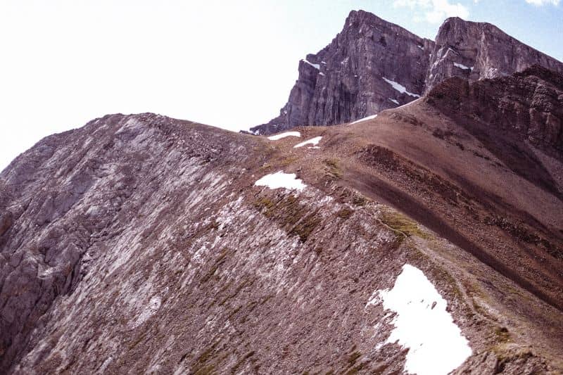
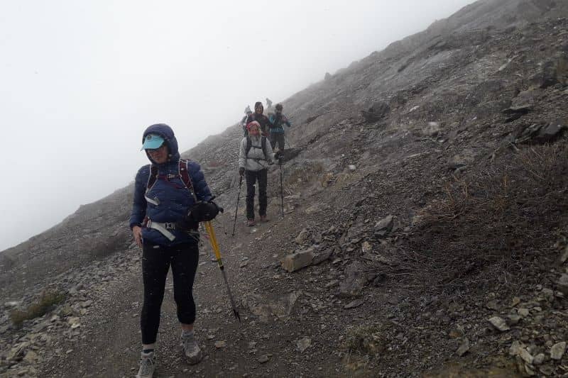
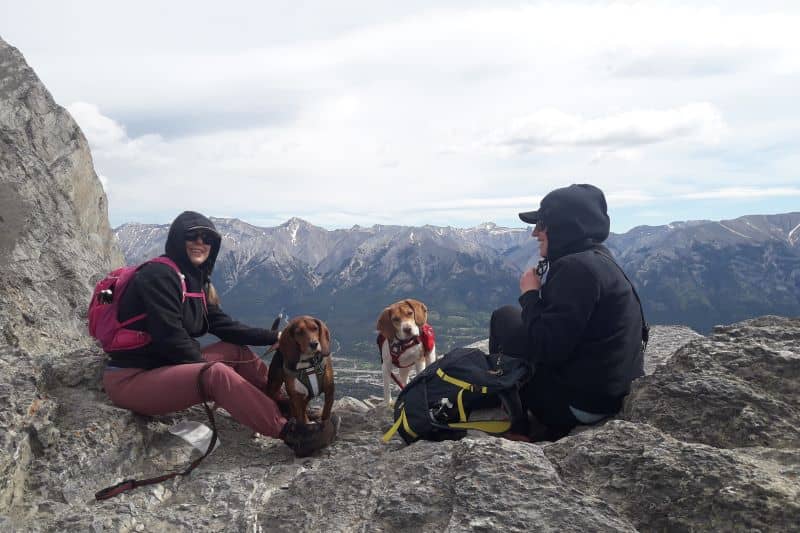
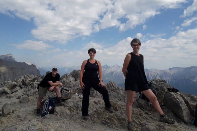
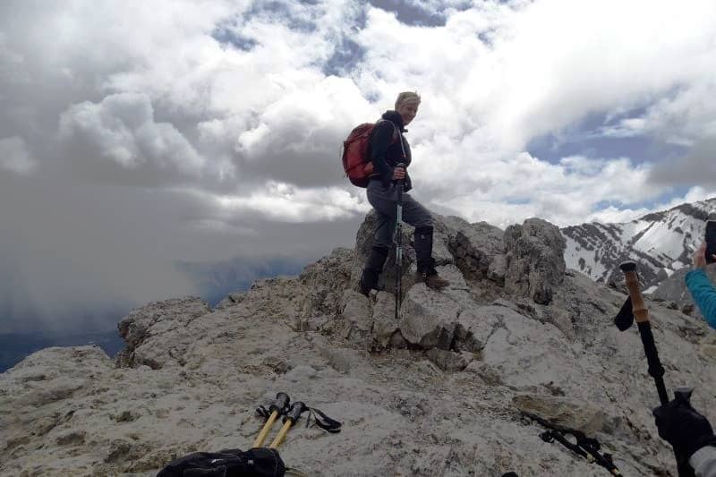
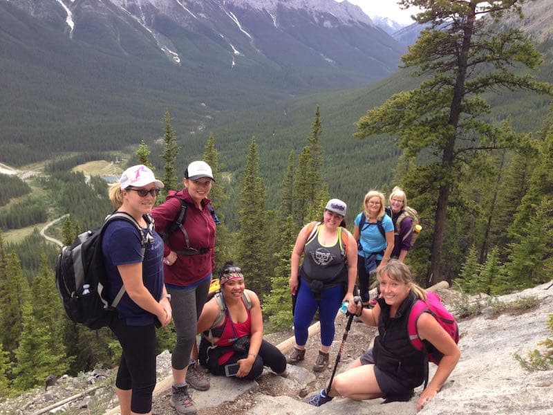
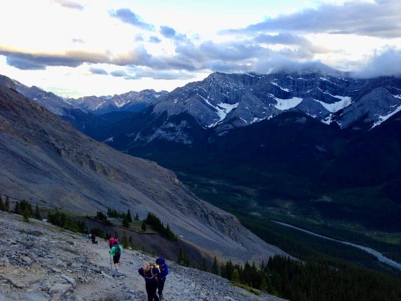
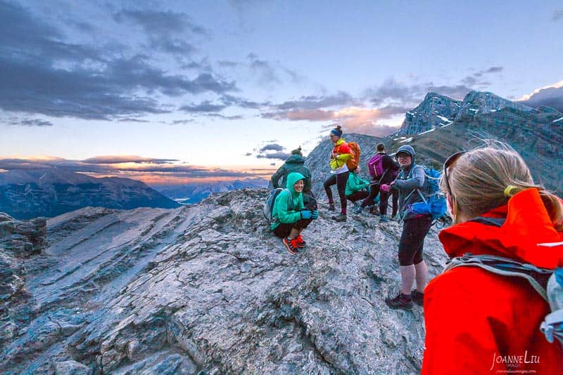
The path up to the saddle is well maintained, and even reasonable for dogs! When we’ve hiked Ha Ling with dogs or folks with limited time we’ve stopped at the saddle and that was a rewarding hike of its own. The final section from the saddle to the summit was a bit more scrappy, and takes careful route finding and footwork. Many people are tempted to head straight to the summit from the saddle. This route includes a lot of loose rocks and difficult slabs. We took the lowest trail, cutting across the final slope before heading up, providing the best hiking and easiest way to the top.
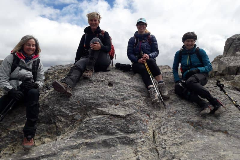
We returned down to the saddle the same way we came up. From the saddle, we could see a path up the next peak to the SouthEast. That is a short detour to get up Miner’s Peak (an additional 1km and 100m of elevation), and lets hikers get two summits for barely more effort than one! We didn’t check it out, but might do so another time.
The peak is named after Ha Ling, a local railway worker who won a $50 bet in 1896 that he could climb the mountain from town in under 10 hours. He did it, but nobody believed him. So he summited a second time, but this time he brought a bright red flag that could be seen from town. While we hiked up the trail, we thought about how much effort it would have taken to go all the way from town to the summit without any established trails at all. Ha Ling sure earned that $50!
Other Posts of Interest
Related Courses

Fresh off the Press
Most Popular Stories
Tags
Spread the Love - Share this article on your socials...