Horseshoe Loop - Trail Report
Trip Report
We started out hiking up along the Cougar Creek creekbed, which has been re-inforced since the area flooded in 2013. There was barely a trickle flowing at the bottom on the warm sunny spring day we were there, but it’s always a good idea to keep in mind just how powerful the forces of nature can be! When the creekbed zigged Northwest, we zagged to the East to find the start of the trail where it led into the forest.
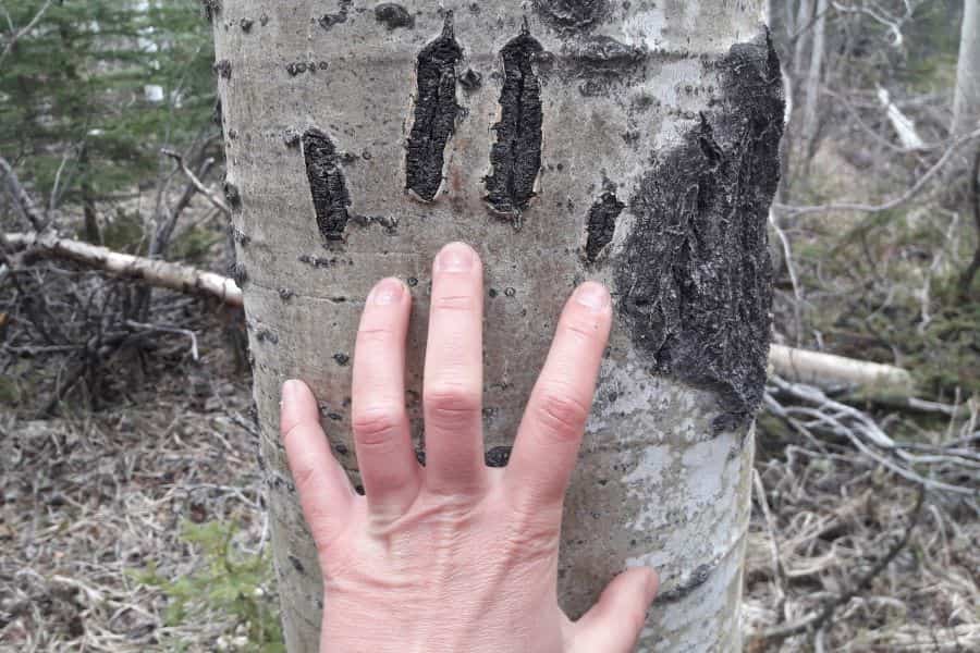
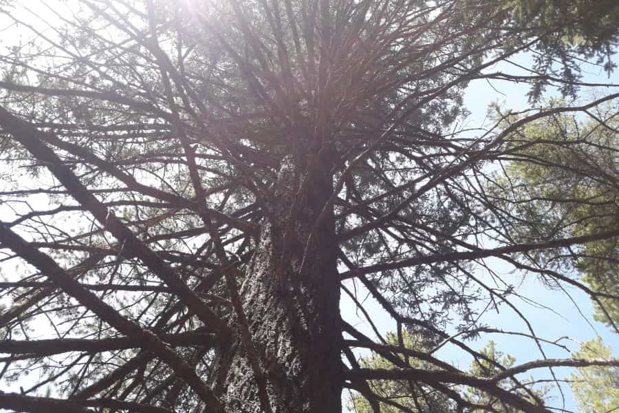
As we hiked along the pine needle covered forest path, it was striking how quickly our world transformed from “construction site next to residential area” into “vibrant forest full of nature to explore”. We found several gigantic douglas fir trees, which are always so interesting up close. Thanks to its thick bark, this species of tree can survive fires that wipe out most other plant life, so they will often be the oldest living thing in an area. We also encountered some aspen trees with some very distinctive markings! The bark of the aspen tree records every scratch or damage by turning from white to black, and here we could see where a bear had been scratching! We knew how to share space with bears and these scratches were old so we weren’t too worried, but a reminder that our furry friends are out there can be a good thing!
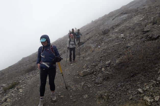
The Horseshoe trail is a multi-use trail, which means we could encounter mountain bikers and very occasionally a horseback rider. We didn’t see any horses that day, and the mountain bikers we met were friendly and said hello while they slowed down to pass us. If you don’t like the idea of being on the same trail as other modes of transport, then save this hike for a rainy day. Bikers and horse folks generally won’t ride in the rain, which leaves the multi-use trails to the hikers (and forest critters!).
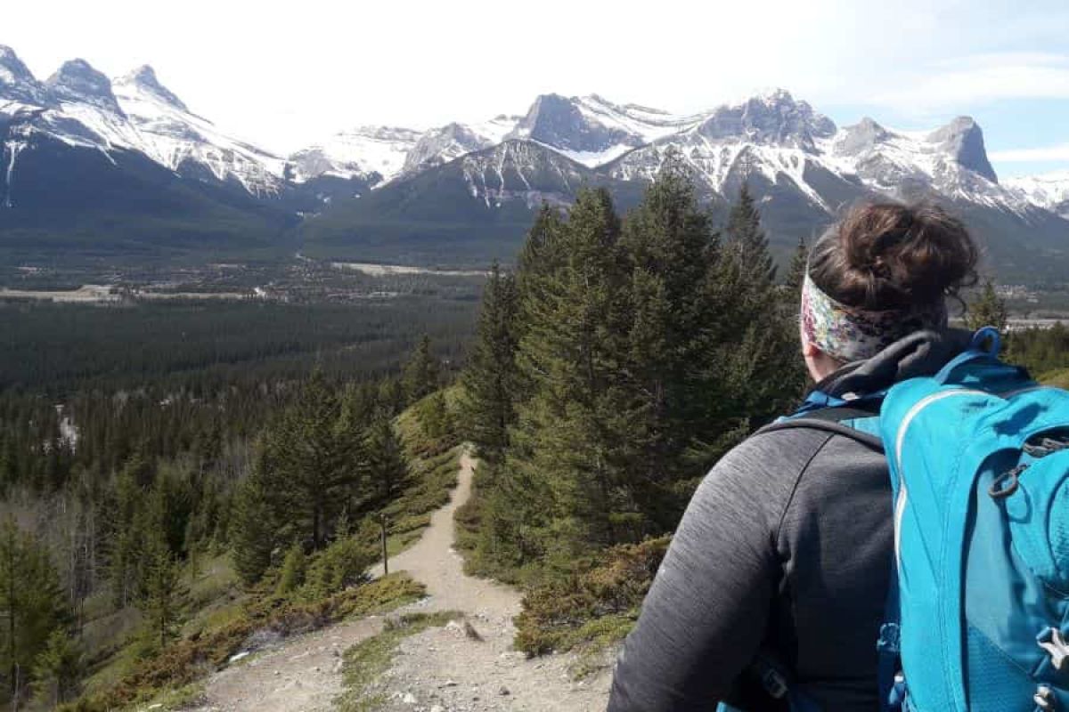
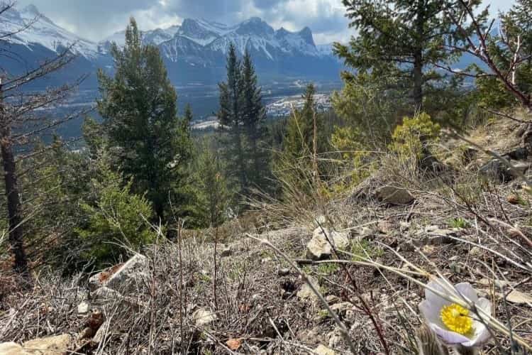
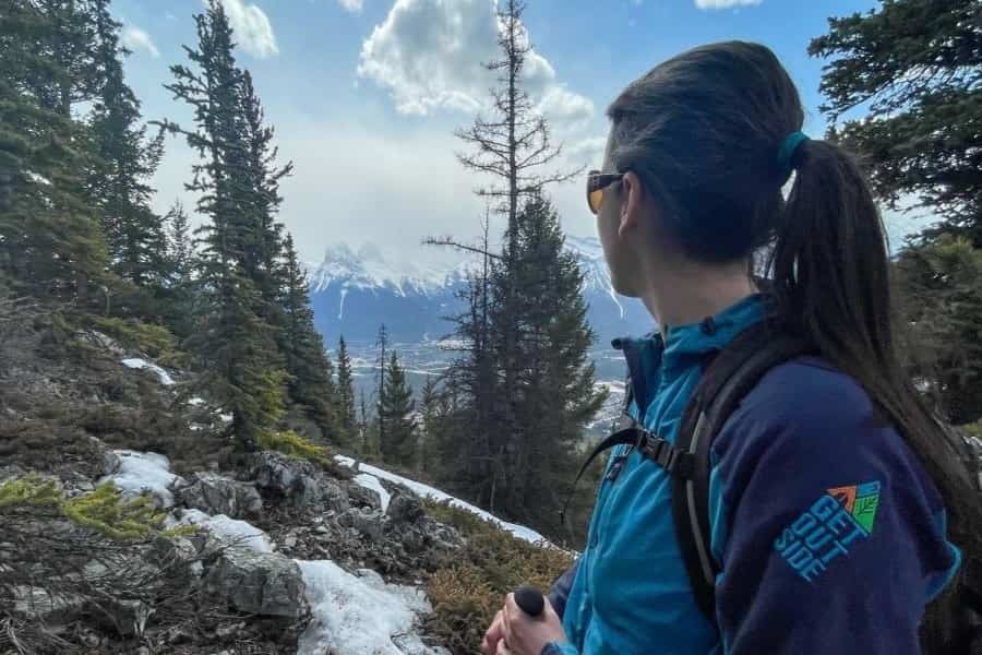
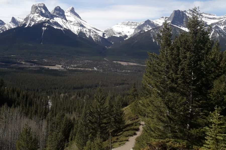
At the furthest east point of the loop, we broke out of the forest and were treated to some awesome views of the three sisters across the bow valley. This was the perfect place for an early lunch where we could really soak in the Mountain views. From here we had two options: loop back towards our starting point, or explore the trail above us (the Grotto Mountain Trail). We had a fair bit of energy and so elected to head upwards. We knew we weren’t going to go all the way up the Grotto trail (as that would have been well over 1000m more elevation gain) but we were curious what the trail was like and what the views might be. It was also good to check out in case we wanted to come back to Hike all the way up Grotto one day. We hiked up the Grotto trail for another 30 mins or, took in the views, and then headed back down to the Horseshoe loops.
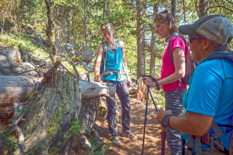
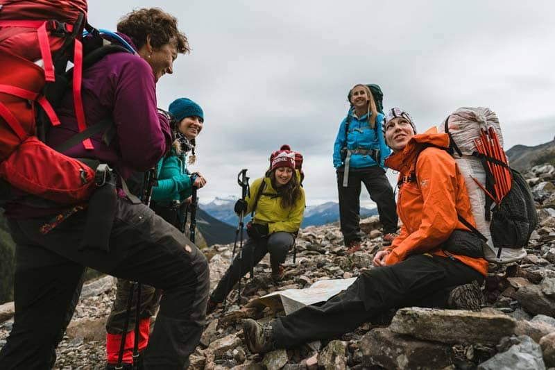
We continued along the lower Horseshoe loop, enjoying the gentle grade and pleasant trail. Every once in a while the forest would open up and we’d be treated to another view across the valley from a little lookout. The trail has many intersections and options, which made for fun navigation. Many (but not all) of the intersections had trail maps with a marker showing where we were, so that made finding our way easier. The trails also generally lead to the same place, so a “wrong” turn mostly would just result in a little bit of bonus hiking before we’d have been back on track. This area is actually a great place to practice on-trail navigation for that very reason: there are enough intersections you need to keep on your toes, but the consequences of making a navigational error are small.
The Horseshoe Loop is just one of the many hikes that criss-cross the lower slopes of Grotto Mountain and Mount Lady Macdonald. Other worthwhile options nearby include the Montane, Meander, and Tibits Quarry trails. There are so many options here, one could hike a hundred times and never do the exact same hike twice.
Other Posts of Interest
Related Trips & Courses
Fresh off the Press
Most Popular Stories
Tags
Spread the Love - Share this article on your socials...