Skip to main content
Home
Day Trips
Full Moon Hikes
Hiker Summit Series
Snowshoe Series
Private Day Trips - Snowshoeing or Hiking
Multi-Day Trips
Berg Lake Trail
Iceline Trail
Rockwall Trail
Templeton-to-Shangri-La
West Coast Trail
Women's West Coast Trail
Women's Snowshoe to Elk Lake ACC Hut
Private Multi-Day Trips
Cape Chignecto Trail
Assiniboine Ambler
Nipika - Women's Retreat
Perfect Purcells
Turbine Twist
Courses
Navigation Course
Women's Intro To Backpacking
Intro to Winter Camping
Women's Next Step
About Us
Blog
Resources
Contact Us
Download Waiver
Contact Us
Download Waiver
Home
Day Trips
Full Moon Hikes
Hiker Summit Series
Snowshoe Series
Private Day Trips - Snowshoeing or Hiking
Multi-Day Trips
Berg Lake Trail
Iceline Trail
Rockwall Trail
Templeton-to-Shangri-La
West Coast Trail
Women's West Coast Trail
Women's Snowshoe to Elk Lake ACC Hut
Private Multi-Day Trips
Cape Chignecto Trail
Assiniboine Ambler
Nipika - Women's Retreat
Perfect Purcells
Turbine Twist
Courses
Navigation Course
Women's Intro To Backpacking
Intro to Winter Camping
Women's Next Step
About Us
Blog
Resources
Contact Us
Download Waiver
Stories Index
The Complete
Get Outside
Story Collection
Find what you are loking for faster by using the filter buttons below
All
Gear
Recipes
Summer
Tips And Tricks
Training
Winter
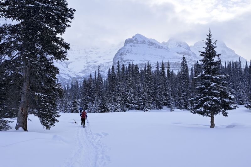
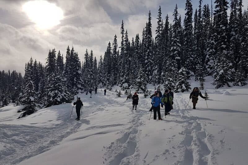
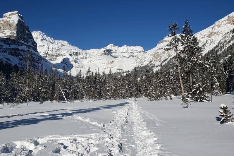
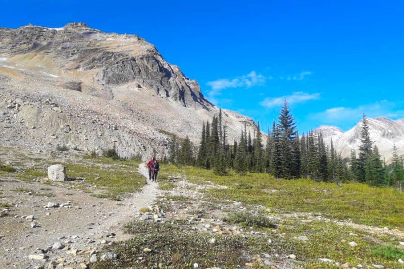
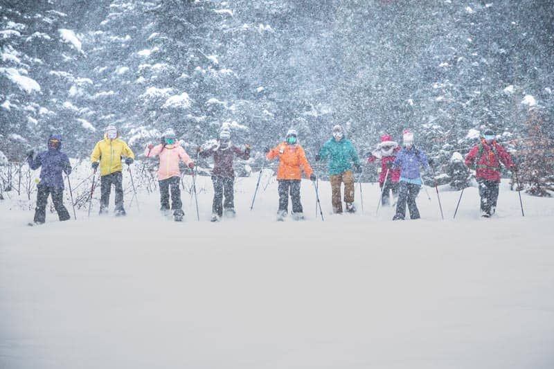
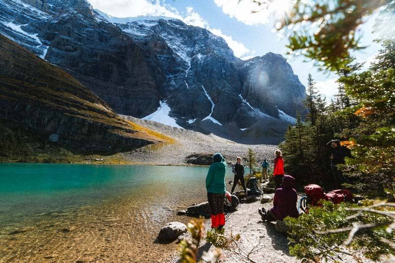
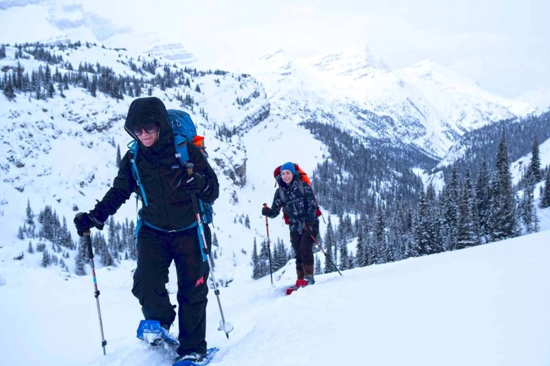
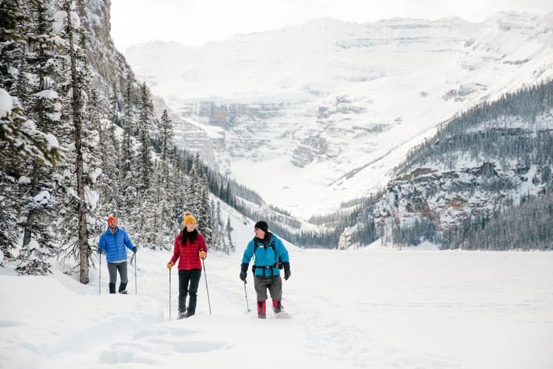
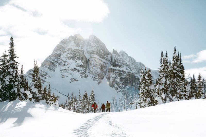
Why Snowshoeing in the Canadian Rockies is Awesome
11 December 2025
Read Article
How to Train for the Trail in an Urban (or Flat) Environment
19 February 2024
Read Article
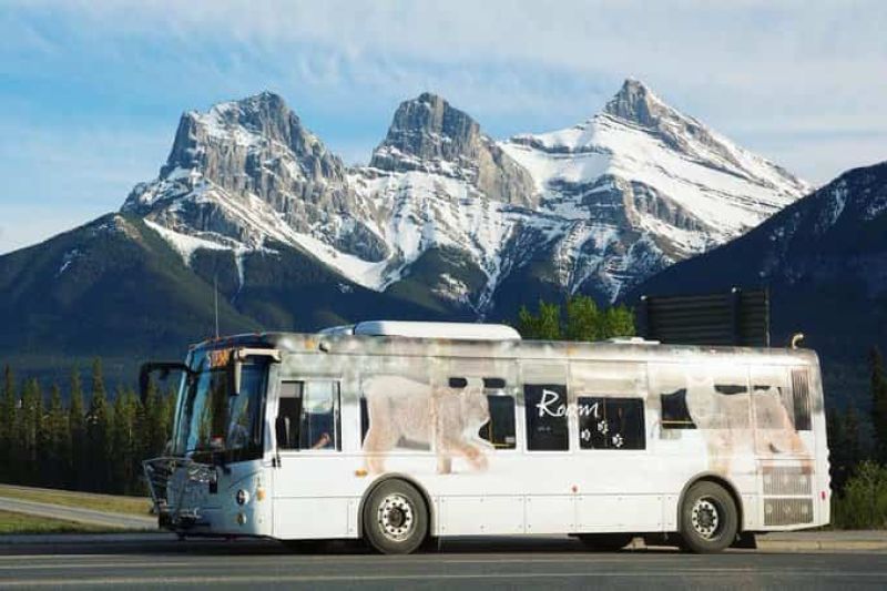
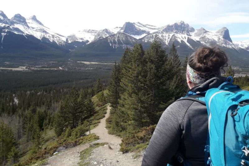
Explore Canmore and Banff by Bus
10 February 2023
Read Article
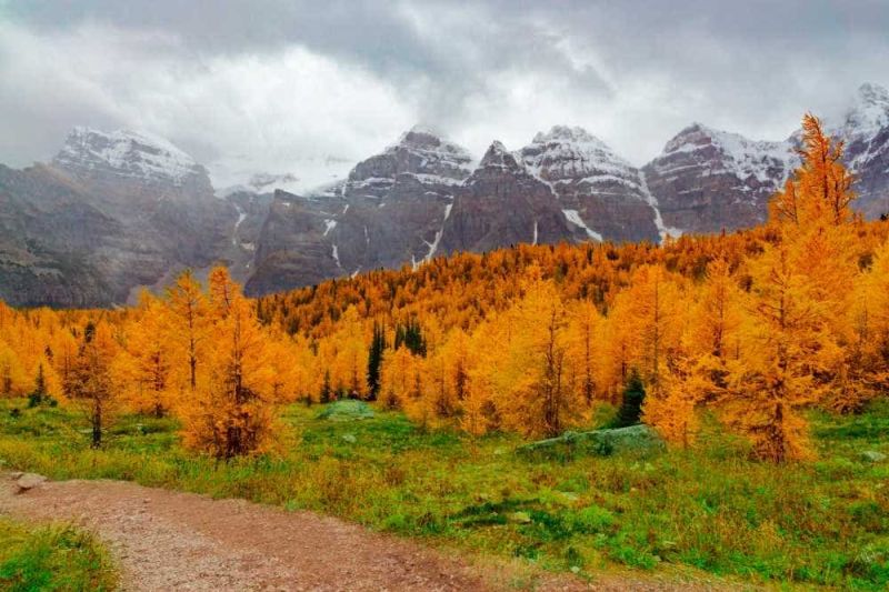
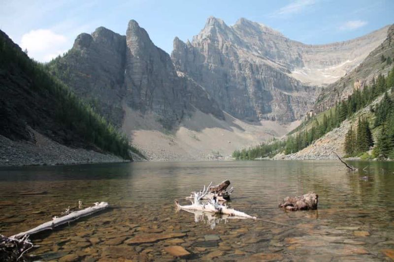
Moraine Lake and Larch Valley - Trip Report
10 February 2023
Read Article
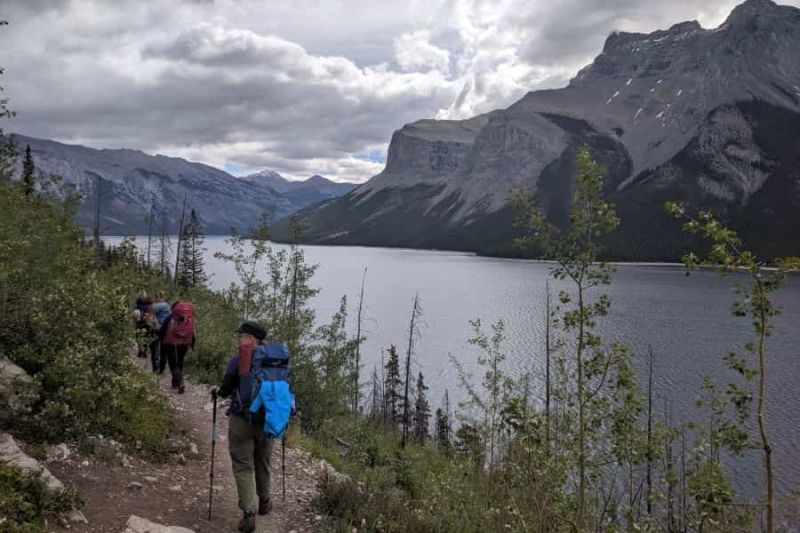
Lake Minnewanka Backpack - Trip Report
10 February 2023
Read Article
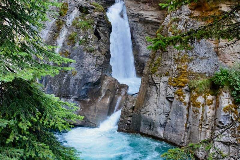
Johnston Canyon and Larry's Camp - Trip Report
10 February 2023
Read Article
Horseshoe Loop - Trail Report
10 February 2023
Read Article
Lake Louise and Lake Agnes - Trail Report
10 February 2023
Read Article
How to Stay Warm in the Winter
06 December 2022
Read Article
Planning a Winter Hike
02 November 2022
Read Article
Essential Winter Hiking Gear
24 October 2022
Read Article
Ha Ling - Trip Report
15 May 2022
Read Article
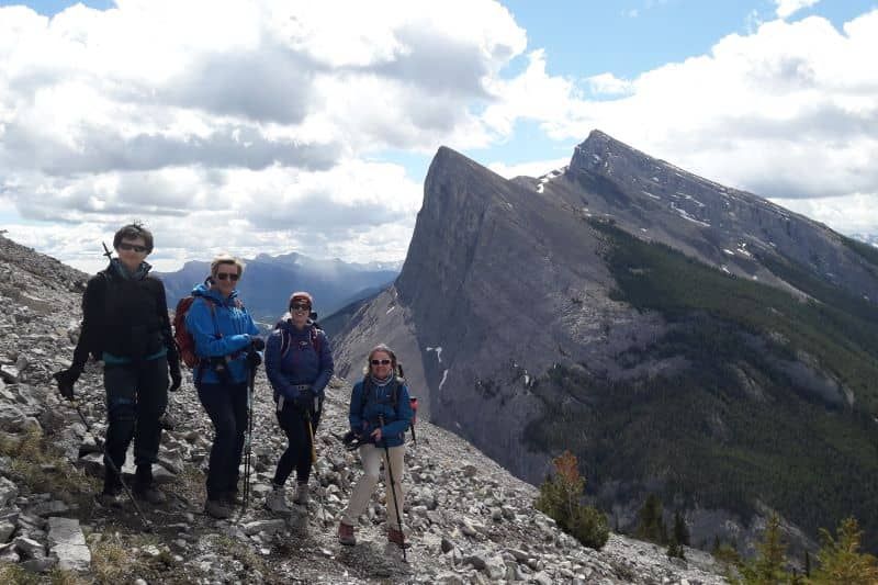
East End of Rundle - Hiker's Route Trip Report
10 May 2022
Read Article
How to Make a Bear Hang
17 April 2022
Read Article
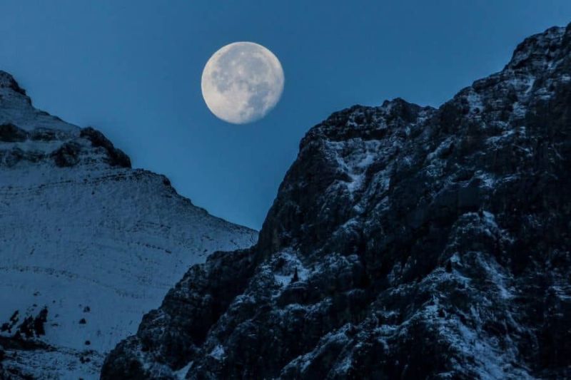
10 Tips for Safe Night Hiking
10 April 2022
Read Article
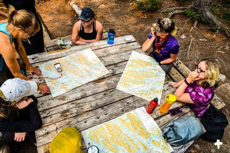
How to Find North
21 March 2022
Read Article
Are We There Yet? Planning a Hike
11 March 2022
Read Article
Everyone Belongs Outside
21 February 2022
Read Article
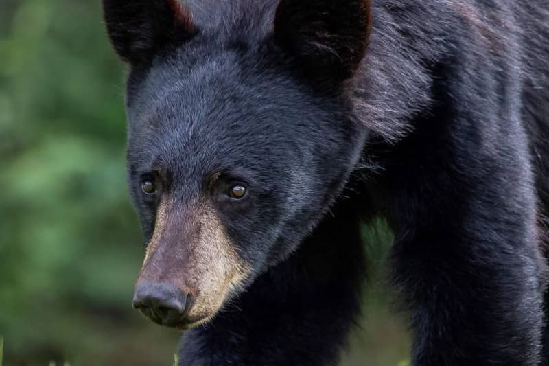
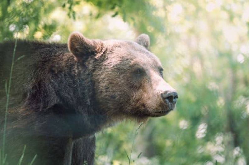
Bears - How to Manage When Backpacking or Hiking
09 February 2022
Read Article
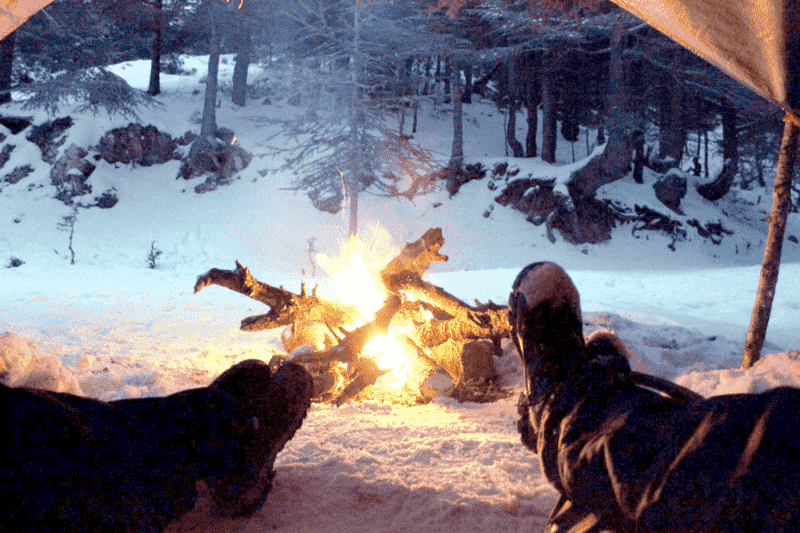
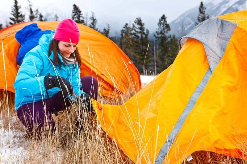
How to Stay Warm Winter Camping
04 January 2022
Read Article
How to Become a Winter Hiking Guide
20 December 2021
Read Article
Training for Backpacking
01 December 2021
Read Article
Packing For a Big Backpacking Trip
16 November 2021
Read Article
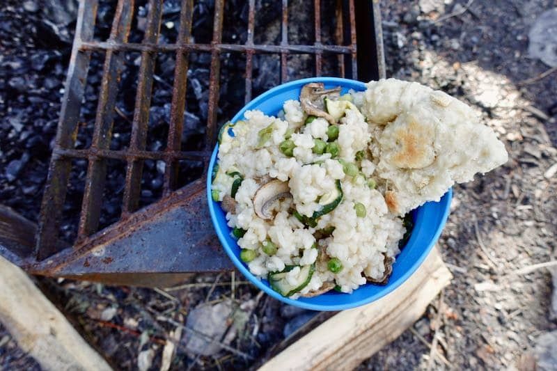
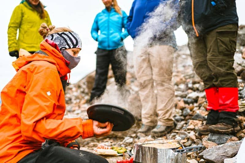
Backcountry Risotto
10 August 2021
Read Article
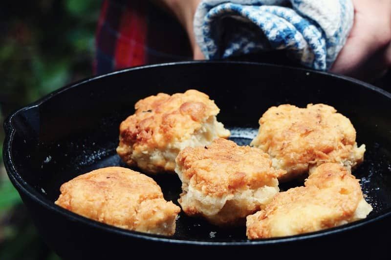
Bannock Backcountry Bread
06 July 2021
Read Article
Beginner's Guide to Backpacking
13 May 2021
Read Article
Affordable Gear - Where you can find it
20 April 2021
Read Article
How to Reserve a Backcountry Campsite
09 April 2021
Read Article
Vegan Curry
08 April 2021
Read Article
Hiking Injuries: How to prevent them
31 March 2021
Read Article
Backpack with friends: COVID-19 safety
07 March 2021
Read Article
How to Layer for Winter Hiking
06 March 2021
Read Article
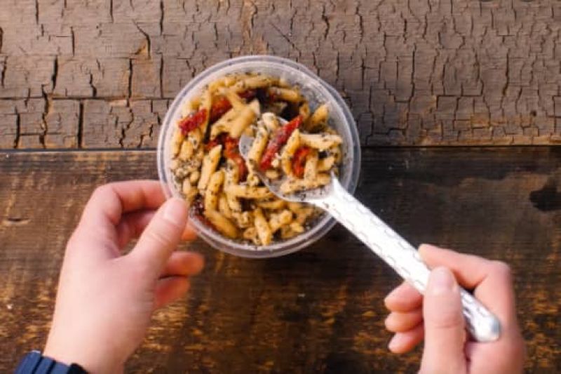
Pesto Pasta
01 March 2021
Read Article
Dehydrated Hash Browns
03 February 2021
Read Article
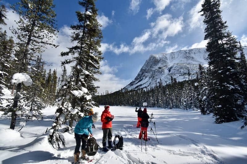
Snowshoeing Technique
05 January 2021
Read Article
Backpacking TVP Tacos
01 January 2021
Read Article
Tips for Snowshoeing
08 December 2020
Read Article
A Beginners Guide to Snowshoeing
04 November 2020
Read Article
Gear for Winter Camping
14 October 2020
Read Article
Peanut Satay
13 October 2020
Read Article
The Best Vegetarian Chili
01 October 2020
Read Article